Top

Expeditions

EXPEDITION LOG / ARCHIVE

Expeditions

The search told as field history: climbs, reconnaissance, surveys, drilling campaigns, failed attempts, discoveries, disputes and the changing tools brought to the mountains.

Chronological archiveLinked people & claimsField methods tracked
Prepared by ArkSearch Editorial TeamLast reviewed October 31, 2026

Expedition Record

From Climbing Parties to Core Drilling

Explore expeditions by date, location, participants, objectives, equipment, discoveries, source documents, and later assessment. Unsuccessful searches are included as well, because they show where investigators looked and what they did—or did not—find.
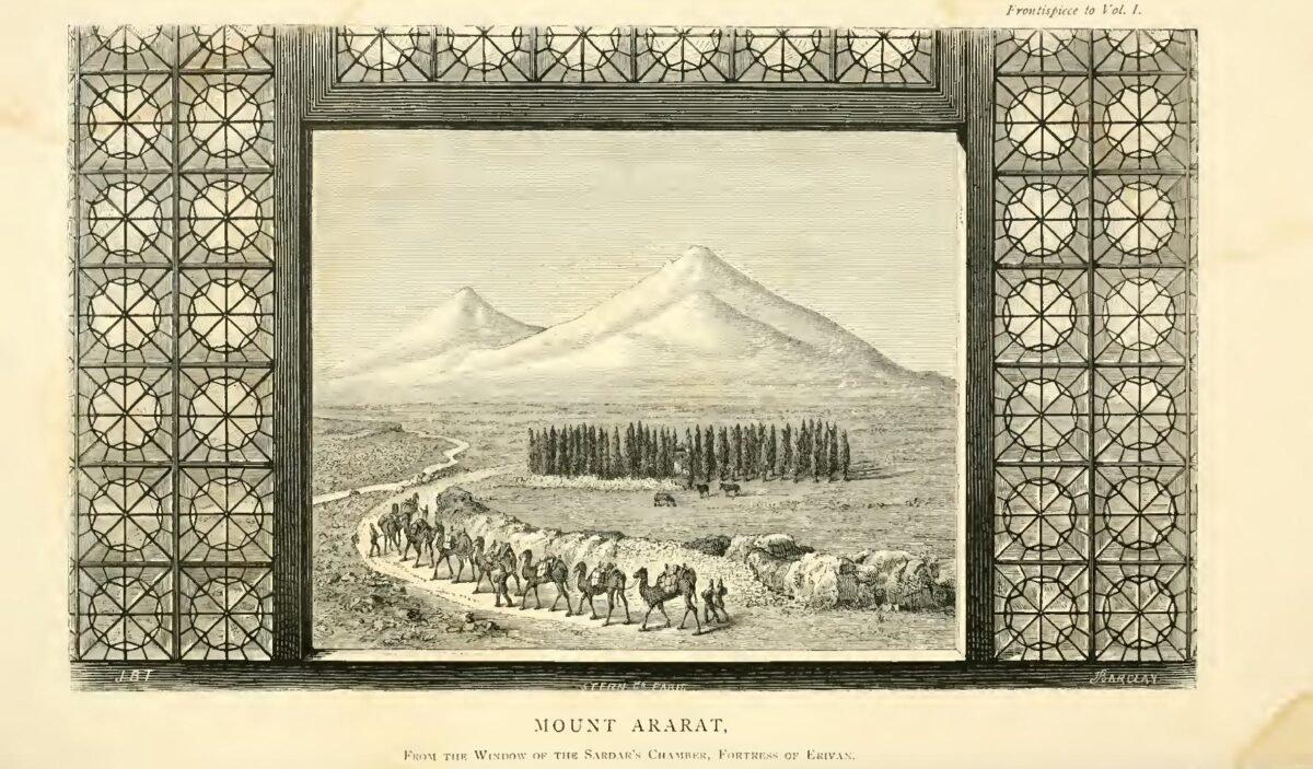
Nineteenth-century illustration of Mount Ararat with a caravan in the foreground
1876 / Expedition landscapeTelfer’s Mount Ararat illustration places the nineteenth-century search in its actual travel environment.
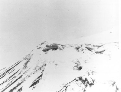
1949 United States aerial photograph of the snow-covered Ararat anomaly on Mount Ararat
1949 / Aerial reconnaissanceThe so-called Ararat anomaly shows how aviation changed the search from route-based climbing to remote targets.
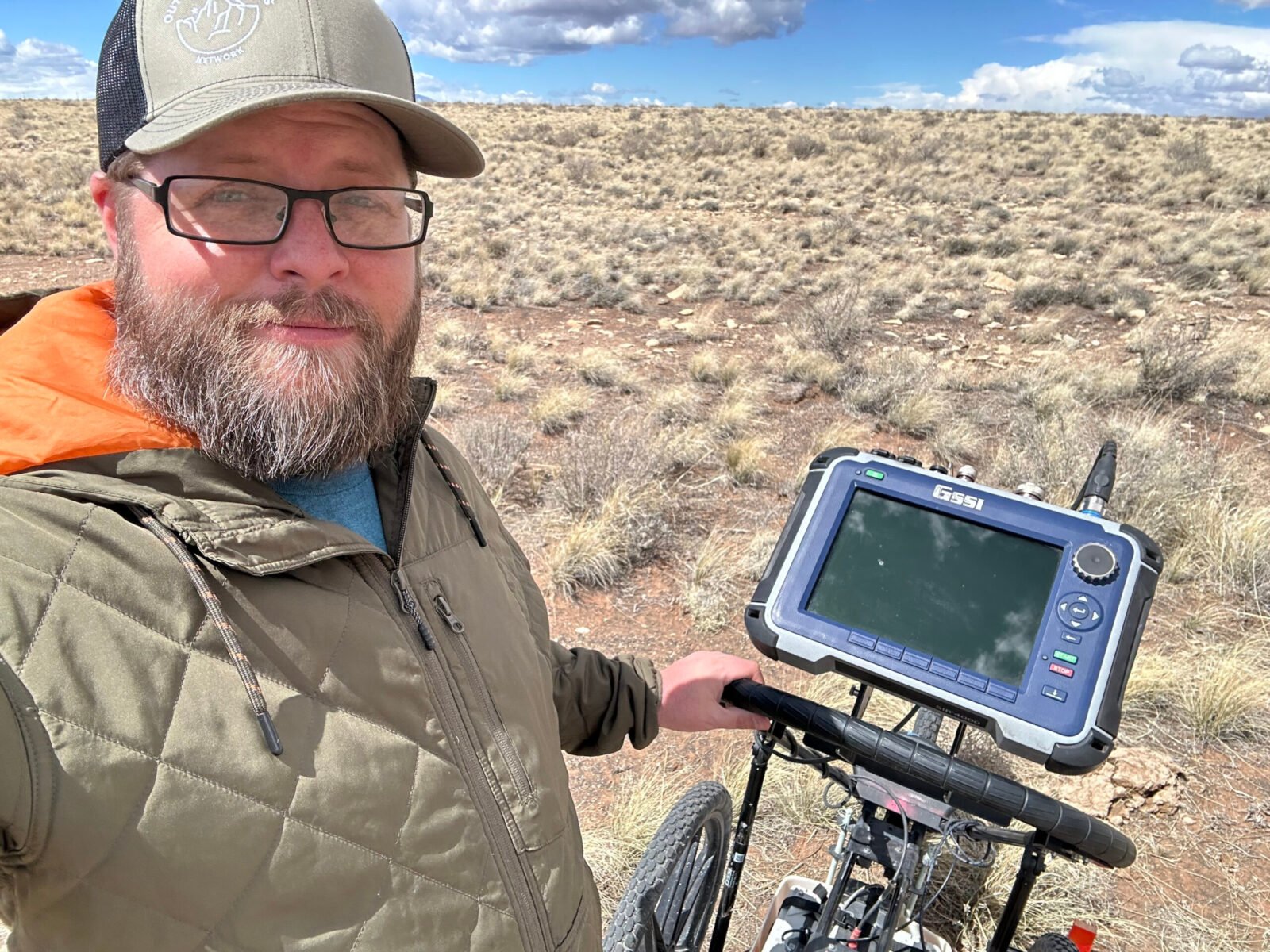
Nate Loper beside ground-penetrating radar equipment during field research
Modern / Instrumented fieldworkGeophysics and direct ground testing represent a very different evidentiary phase from eyewitness or shape-based claims.
19th century

Scientific Mountaineering Begins

Published ascents and travel accounts help turn Mount Ararat from sacred geography into a physical search landscape.

Early–mid 20th century

Sightings & Military Context

Eyewitness stories, regional travel and aviation become increasingly important to the modern Ark narrative.

Mid 20th century

Wood-Recovery Expeditions

Expeditions focused on reported wooden remains create some of the most famous—and most disputed—material-evidence claims.

Late 20th century

Durupınar Field Campaigns

Surveying, subsurface instruments, sampling and competing geological interpretations shift attention to the boat-shaped formation.

Satellite era

Remote Reconnaissance

Aerial and satellite images allow searchers to revisit inaccessible terrain, anomalies and glacial zones without being physically present.

Current work

Geophysics & Drilling

GPR, electrical methods, soil studies, photogrammetry and core drilling provide new testable data at proposed sites.

Field Record Standard

How ArkSearch Reads an Expedition

An expedition is not evidence simply because it happened. Each field record separates what the team intended to do from what it actually produced and what later investigators could verify.

01 / Objective

What Was the Mission?

Summit ascent, eyewitness follow-up, glacier search, remote reconnaissance, geophysical survey, sampling or direct drilling.

02 / Method

How Did They Search?

Route, equipment, survey design, sample strategy, controls, photography, interviews and environmental constraints.

03 / Output

What Came Back?

Field notes, photographs, coordinates, samples, maps, instrument data, recovered objects—or sometimes no positive finding.

04 / Verification

What Survived Review?

Can later researchers relocate the place, inspect the material, repeat the measurement or test the interpretation independently?

A failed search still belongs in the archive. It records where people looked, what conditions they encountered, what methods were used and what was not found.

Expedition Log / Interactive

Open the Field Ledger

Filter the ledger by principal search zone. These entries combine true search expeditions with field-documentation milestones that changed what later searchers thought they knew.

1829Scientific ascent
Ağrı Dağı / Mount Ararat

Parrot & Abovian

The first recorded modern summit ascent brought barometric measurement, route documentation and named participants into the mountain’s exploration history.

MountaineeringBarometryField notes
ObjectiveReach and scientifically document the summit.
OutputPublished ascent, route observations, and measurements.
ResultSummit reached and documented; no Ark identification resulted from the ascent.
1876Independent ascent
Ağrı Dağı / Mount Ararat

James Bryce

Bryce’s climb became famous in Ark literature because of a high-altitude timber find—while Bryce himself left room for ordinary explanations.

MountaineeringTravel recordMaterial claim
ObjectiveComplete an independent ascent and document the journey.
OutputPublished travel account including the high-altitude timber episode.
ResultTimber recovery entered Ark literature; its provenance does not demonstrate an Ark.
1909Field documentation
Cudi Dagh / Cudi Dağı

Gertrude Bell

Bell documented the landscape and summit ruins with diary entries and photography, creating a durable record of the Cudi tradition before modern Ark tourism.

PhotographyTravel diarySite observation
ObjectiveDocument travel, landscape, and summit remains on Cudi Dagh.
OutputDiary entries and field photography.
ResultCreated a dated primary visual/textual record of the traditional Cudi site.
1950sWood-search era
Ağrı Dağı / Mount Ararat

Navarra expeditions

Fernand Navarra’s expeditions and wood-recovery claims became central to twentieth-century Ark searching and later debates over provenance and dating.

Glacier searchMaterial recoveryPhotography
ObjectiveSearch glacial terrain for reported or preserved wooden remains.
OutputExpedition photographs and wood-recovery claims.
ResultMaterial claims became influential but remain disputed in provenance and interpretation.
1959Aerial discovery history
Durupınar Oluşumu

Formation identified in imagery

İlhan Durupınar’s recognition of the boat-shaped landform in aerial survey imagery began the site’s modern investigation history.

Aerial imageryCartography
ObjectiveReview aerial-survey imagery and map the observed landform.
OutputAerial identification and contemporary mapping/newspaper record.
ResultEstablished the modern discovery history of the Durupınar formation.
1960First field investigation
Durupınar Oluşumu

Archeological Research Foundation field check

The team dug and blasted into the formation, reported no visible archaeological remains after its brief investigation, and interpreted the feature as natural. The visit remains the first on-site test after the 1959 aerial recognition.

ExcavationDirect observationField report
ObjectiveTest whether the newly publicized formation contained archaeological remains.
OutputShort field investigation, excavation/blasting, photographs, and press reporting.
ResultNo visible archaeological remains were reported; the team largely judged the feature natural.
1980sInstrumented search
Durupınar Oluşumu

Wyatt & Fasold era

Field campaigns popularized subsurface, material and “anchor stone” claims, while also creating a record that later geological work could test.

Field surveySubsurface claimsSampling
ObjectiveInvestigate the formation as a possible Ark using field and subsurface methods.
OutputMetal, radar, sampling, and anchor-stone claims plus extensive publicity.
ResultCreated a testable claim record; several interpretations were later challenged or abandoned.
1987Geophysical survey
Durupınar Oluşumu

Atatürk University / Los Alamos study

A broader investigation used 71 ground-penetrating-radar transects together with magnetometry and seismic work. Subsurface reflectors were recorded, but the survey did not establish a wooden ship.

GPRMagnetometrySeismic survey
ObjectiveMap the formation’s subsurface and geophysical properties.
Output71 GPR transects, magnetometry, seismic work, and survey reporting.
ResultSubsurface reflectors were recorded; the investigation did not establish a wooden vessel.
1988Core drilling
Durupınar Oluşumu

Four-hole drilling program

Four core holes provided direct subsurface material. No identified wood was recovered; two holes reportedly entered layered ophiolitic bedrock at roughly five metres, creating a physical record against which later geophysical interpretations can be compared.

Core drillingLithologyGround truth
ObjectiveGround-truth subsurface interpretations with direct samples.
OutputFour boreholes and lithologic core observations.
ResultNo identified wood was recovered; two holes reportedly entered layered ophiolitic bedrock near 5 m.
1990sReassessment
Durupınar Oluşumu

Geological re-evaluation

Published critiques and field reassessment pushed the debate toward stratigraphy, mineralogy, geomorphology and testable natural explanations.

GeologyPetrologyCritical review
ObjectiveReassess artifact and structural claims using geology and material analysis.
OutputPublished geological, mineralogical, and geomorphological critiques.
ResultStrengthened natural explanations and reframed which claims required direct testing.
2008–2013Renewed field documentation
Cudi Dagh / Cudi Dağı

Crouse, Franz & Compton fieldwork

Bill Crouse and Gordon Franz conducted field visits, while the 2013 International Noah and Cudi Mountain Symposium brought researchers to Şırnak. Stephen Compton documented summit ruins, chambers and the traditional site with modern photography and satellite comparison.

Field surveyPhotographySource mappingSatellite comparison
ObjectiveRe-document the Cudi tradition, terrain, ruins, and historical geography.
OutputField visits, photography, satellite comparison, and symposium research.
ResultExpanded the modern documentary record; no securely identified Ark structure was established.
2026Current field season
Durupınar Oluşumu

Geophysics & core drilling

Current work is moving beyond surface resemblance by targeting subsurface interpretations with geophysical surveys, sampling and direct drilling.

GPRElectrical surveyCore drillingSampling
ObjectiveTest subsurface interpretations and material claims with modern direct investigation.
OutputNew radar, electrical work, soil/core sampling, and drilling.
ResultGround-truth data are being generated; laboratory/material and final radar conclusions remain pending.